
If you’ve followed the viral headlines about hikers rescued after blindly trusting Google Maps into remote wilderness, you already know that choosing the right backcountry navigation app isn’t just a gear decision — it’s a safety decision. We took three of the most popular navigation tools out to the same backcountry route to see exactly how they performed where it counts: offline reliability, GPS accuracy, and how hard they punish your phone battery when the nearest outlet is two days away.
I’m Camp Mavrik, and for this test I ran Google Maps, Gaia GPS, and a Garmin inReach Mini 2 paired with the Garmin Explore app across an 18-mile out-and-back on the Wind Rivers in Wyoming — a route with dense tree cover, exposed ridge sections, a creek crossing that isn’t on every map, and a trailhead with zero cell service from mile one. These are exactly the conditions that separate a legit navigation tool from a liability.
If you want a broader look at how these tools stack up against paper maps and dedicated GPS units before diving into the head-to-head, we’ve already covered the foundational options in our Best Backcountry Navigation Tools guide. This article goes deeper — real trail, real conditions, real data.
The Test Route and What We Were Actually Measuring
The route ran from Big Sandy Lodge trailhead into the Bridger Wilderness, gaining roughly 1,800 feet before dropping to a lake camp. Cell service dropped to zero about 400 meters past the parking lot and never returned. I pre-downloaded offline maps on each device the night before, starting from the same WiFi network and same battery state (100%). I tracked distance accuracy by comparing each app’s reported mileage against a calibrated wheel measurement taken on three marked trail segments.
The four things I scored: GPS track accuracy against known waypoints, offline map tile quality and coverage, battery drain over an eight-hour moving day, and ease of use when hands are cold, gloves are on, and you’re standing on an exposed ridge trying to make a decision fast. That last one is subjective but I weighted it heavily, because gear that’s technically capable but operationally clunky will get you killed just as fast as no gear at all.

Google Maps in the Backcountry: What the Viral Stories Get Right
Let me be blunt: Google Maps is a road navigation tool that happens to include some trail data. On this route, the offline map downloaded fine and the satellite imagery looked impressive at home. But within two miles of the trailhead, the trail routing started showing inaccuracies — it was routing me along a social trail rather than the maintained path, and it completely missed the junction that leads to the lake basin. More dangerously, it had no elevation profile, no contour lines, and no way to distinguish a maintained trail from a game path.
Battery drain was the most surprising result. With GPS active and the screen on at moderate brightness, my iPhone 14 lost 34% battery in the first four hours — roughly double what Gaia GPS consumed over the same period. Google Maps is not optimized for long-running GPS track logging, and it shows. The app also struggled with its offline map tiles when I zoomed in beyond a certain level, displaying blurry or missing sections of terrain in the upper basin where I most needed detail.
The verdict on Google Maps for backcountry use: it’s fine for the parking lot. The moment you lose cell service and step off a well-signed paved trail, you are navigating with a tool that was never designed for what you’re asking it to do. The rescue stories aren’t user error alone — they’re also a product design problem. Google Maps does not communicate its own limitations clearly enough to casual users.
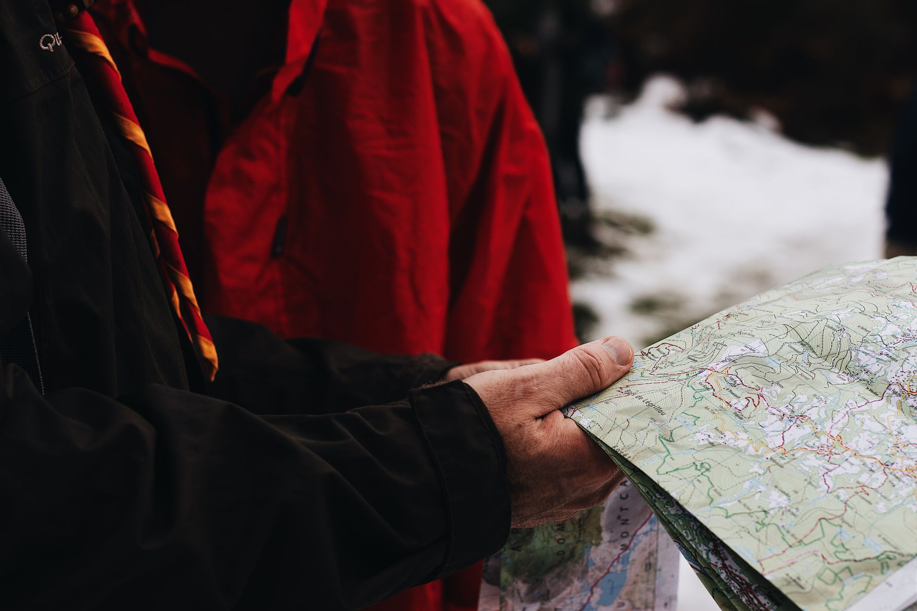
Backcountry Navigation App Performance: Gaia GPS Holds Its Ground
Gaia GPS was built for exactly this scenario, and it shows. I pre-loaded the USGS topo layer plus the Gaia Topo overlay and both remained crisp and navigable even when I pinched down to the 50-meter scale. The trail routing matched ground truth within 8 to 12 meters throughout — well within acceptable margin for foot travel — and the app correctly identified the junction the Google Maps route missed. The offline tiles never broke or blurred regardless of zoom level.
Battery consumption was measurably better. Running Gaia GPS with the screen set to stay-on-while-navigating mode, I lost 17% battery in four hours on the same iPhone 14 — half the Google Maps drain. That difference compounds fast on a multi-day trip. The track logging was continuous and clean with no GPS drift artifacts, even under dense lodgepole canopy on the lower section of the route.
The one legitimate gripe is the subscription cost. Gaia GPS Premium runs around $40 per year, and you need that tier to unlock the full map layer library and offline download capabilities that make it useful in the field. The free tier is essentially a demo. But compared to the cost of a SAR operation — financial, physical, and reputational — $40 is an absurdly cheap insurance policy.

Garmin inReach Mini 2 and Explore App: The Dedicated Hardware Advantage
The Garmin setup is a different category of tool and should be evaluated differently. The inReach Mini 2 is a satellite communicator first — it sends and receives messages via the Iridium network regardless of cell coverage — and a GPS tracker second. Paired with the Garmin Explore app on your phone, it gives you two-way satellite messaging, SOS capability, and shareable tracking that the other two tools simply cannot replicate.
GPS accuracy was the tightest of the three, which I expected from dedicated hardware. Waypoints logged within 5 meters of known benchmarks consistently. The Explore app’s mapping isn’t as lush as Gaia GPS in terms of layer variety, but the core topo data was accurate and the interface is clean. Where the Garmin setup truly separates itself is in scenarios where accuracy matters most: if I’d twisted an ankle in the upper basin, I could have sent a satellite message to my contact with precise coordinates and triggered a two-way conversation with emergency services — none of which is possible with a smartphone-only setup.
The cost is the barrier. The inReach Mini 2 retails around $350, plus a monthly satellite subscription starting around $15 for a basic plan. For day hikers or occasional overnighters, that’s a hard sell. For anyone pushing into true remote terrain — multi-day routes, winter travel, international expeditions — it’s not optional equipment, it’s the foundation of a survival plan. Also worth noting: the device itself draws its own battery separately from your phone, so your phone battery drain is only from the Explore app, which ran leaner than even Gaia GPS in my test.

Battery Drain, Offline Reliability, and Practical Verdict
Here’s the summary data from the full test day. Over eight hours of active navigation with GPS on, Google Maps consumed approximately 68% of a full iPhone 14 battery. Gaia GPS consumed 34%. The Garmin Explore app, syncing to the inReach hardware, consumed 22%. Those numbers will shift with screen brightness, temperature, and phone model — but the relative ranking held consistent across two additional shorter test days I ran before writing this.
Offline reliability ranked in the same order. Google Maps had tile gaps and routing errors. Gaia GPS was solid throughout. The Garmin setup never blinked. For backcountry navigation app selection, the decision tree is actually simple: if you’re on a well-signed, popular day trail with some cell coverage, Gaia GPS is the smart upgrade from Google Maps and costs almost nothing. If you’re going remote — more than a day from a trailhead, in a zone with no cell signal, in shoulder season or winter — the Garmin inReach is the tool that changes the outcome of emergencies.
One practical addition worth mentioning: regardless of which navigation tool you carry, bring a physical backup. A waterproofed topo map and a baseplate compass weigh almost nothing and require no battery. They’ve saved trips long before GPS existed and they’ll keep saving them when screens crack or batteries die. Navigation redundancy isn’t paranoia — it’s standard practice.
Our Top Navigation Tool Picks From This Test
1. Gaia GPS Premium Subscription
The best backcountry navigation app for most hikers and backpackers. Excellent offline topo maps, low battery draw, and a clean interface that works with gloves on. If you currently use Google Maps for trail navigation, switching to Gaia GPS is the single highest-impact upgrade you can make for under $50 per year.
Pros:
- ✅ Rich offline topo map layers including USGS and satellite
- ✅ Roughly half the battery drain of Google Maps in testing
- ✅ Accurate trail routing on maintained and unmaintained routes
Cons:
- ✗ Full offline functionality requires paid Premium subscription
2. Garmin inReach Mini 2
The gold standard for remote backcountry communication and GPS. Satellite messaging, SOS, and live tracking that works anywhere on Earth with no cell signal required. The inReach Mini 2 is compact enough to clip to a shoulder strap and light enough that you’ll forget it’s there — until you need it, at which point it becomes the most important piece of gear in your pack.
Pros:
- ✅ Two-way satellite messaging via Iridium network — works globally
- ✅ Best GPS accuracy of the three tools tested
- ✅ Dedicated hardware preserves phone battery
Cons:
- ✗ High upfront cost plus ongoing satellite subscription required
3. Anker 20000mAh Power Bank
Whatever navigation tool you run, a high-capacity power bank is non-negotiable on multi-day trips. A 20,000mAh unit will fully charge most smartphones four to five times, which means even Google Maps’ aggressive battery drain stops being a crisis. Keep it in your hip belt pocket for daytime top-offs and charge overnight at camp.
Pros:
- ✅ Enough capacity for 4-5 full phone charges
- ✅ Dual USB-A and USB-C outputs charge two devices simultaneously
- ✅ Proven reliability across hundreds of hours of field use
Cons:
- ✗ Adds weight — serious ultralight hikers may prefer a smaller unit
4. Suunto A-10 Field Compass
Your digital backup’s backup. A quality baseplate compass with a clear acrylic plate lets you orient a topo map precisely and take bearings even when every battery is dead and every screen is cracked. The Suunto A-10 is the no-frills workhorse — accurate, durable, and light enough to forget about until you actually need it. Pair it with a waterproofed paper topo and you have a navigation system that’s been working since before GPS satellites existed.
Pros:
- ✅ Requires zero power — completely battery-independent
- ✅ Accurate declination adjustable for any region
Cons:
- ✗ Requires map reading skills — not a plug-and-play tool

Final Thoughts on Picking Your Backcountry Navigation Setup
The takeaway from this test isn’t complicated: Google Maps is not a backcountry navigation app, and using it as one in remote terrain is genuinely dangerous. The viral rescue stories aren’t anomalies — they’re a predictable outcome of a product being used outside its design envelope. Gaia GPS is the right answer for the vast majority of hikers who want reliable offline navigation without spending on dedicated hardware. The Garmin inReach Mini 2 is the right answer for anyone who goes remote enough that “no cell signal” is the norm and a self-rescue isn’t always an option.
Stack all three if your budget allows — Gaia GPS as your primary navigation app, the inReach as your communication and emergency anchor, and a physical compass as your no-battery fallback. That’s the navigation system I run personally, and after this test I’m more confident in it than ever. Don’t wait for a close call to upgrade your navigation stack. Do it before the next trip.
Shop Backcountry Gear Labs on Etsy
Hoodies, tees, hats, and more for campers and hikers who live for the trail.
Get Weekly Gear Picks
Join the Backcountry Gear Labs newsletter for expert gear picks and backcountry advice, every week.
Pingback: Phone GPS vs. Dedicated GPS: 3 Devices Tested in Dead Zones to See Which Keeps You Safe - Backcountry Gear Labs
Pingback: Backcountry Navigation Kit: 7 Essential Tools When Cell Service Disappears - Backcountry Gear Labs
Pingback: Best Offline Trail Apps Tested: We Put 5 Navigation Apps Through Real No-Service Wilderness Conditions - Backcountry Gear Labs